The Low-Angle Trail Path
Early morning light
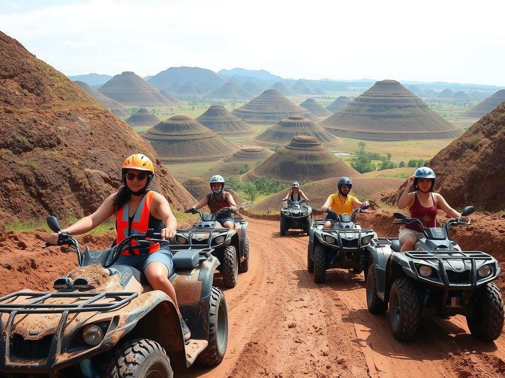
Capture the hills from the base of the ATV trail where the terrain creates a natural leading line toward the mounds.

The all-terrain trails threading through Bohol's karst landscape deliver angles the viewing deck cannot: mid-slope perspectives, foreground texture, and the cone-shaped hills receding in layers. Capturing chocolate hills atv photos that convey scale and depth requires planning your stops, reading the light, and timing your ride to the sun's position over the formations.
Quick answer
The best chocolate hills atv photos are captured during the early-morning window between 06:00 and 08:30, when sidelight rakes across the karst cones and temperatures stay cool enough for dust-free air. Recommended stops include the mid-trail plateau 1.2 kilometers past the main gate, the ridge overlooking the western cluster, and any hairpin turn offering a clear sightline across three or more formation rows. A polarizing filter and fast shutter speed compensate for midday glare if riding later.
The Chocolate Hills comprise 1,776 individual karst domes spread across 50 square kilometers of Bohol's interior, each rising 30 to 120 meters above the surrounding alluvial plain. The all-terrain routes crossing this protected landscape open vantage points unavailable from the static observation platform: riders pause at mid-slope clearings, ridge saddles, and hairpin bends where the cone formations stack in receding tiers. Securing strong chocolate hills atv photos depends on three variables—sunlight angle, atmospheric clarity, and foreground composition—all of which shift hour by hour. Departing during the first hour of operation places riders on the trail while the sun remains low to the east, casting long shadows that define each dome's contour and prevent the flattening effect of overhead light. The viewing deck's 214-step climb delivers a panoramic sweep, but the ATV trails provide something more valuable for photography: the ability to position the hills as background elements behind a dynamic foreground of red clay, vegetation, and the vehicle itself. Riders who stop at the plateau overlook 1.2 kilometers into the route gain a sightline across the densest cluster of formations, with minimal haze and no tourists in frame. Camera settings matter as much as location. A shutter speed of at least 1/500 second freezes the ATV and any raised dust; a polarizing filter deepens the sky without introducing color casts; and shooting in RAW format preserves shadow detail for post-processing. The formations turn golden-brown during the dry months between February and May, offering the highest tonal contrast against the green season's grass cover. Guides typically allow three to four photo stops per tour, so marking your intended compositions in advance prevents missed opportunities. The conservation fee grants access to the viewing deck; the trails themselves require a separate ATV operator booking, and most tours include a dedicated pause at the western ridge for wide-angle captures. The best ATV photography results come from riders who treat the journey as a series of deliberate stops rather than a continuous ride, using the terrain's elevation changes to layer the karst domes from foreground to horizon.
“The all-terrain routes open vantage points unavailable from the static observation platform: riders pause at mid-slope clearings where the cone formations stack in receding tiers.”
Early morning light
Capture the hills from the base of the ATV trail where the terrain creates a natural leading line toward the mounds.
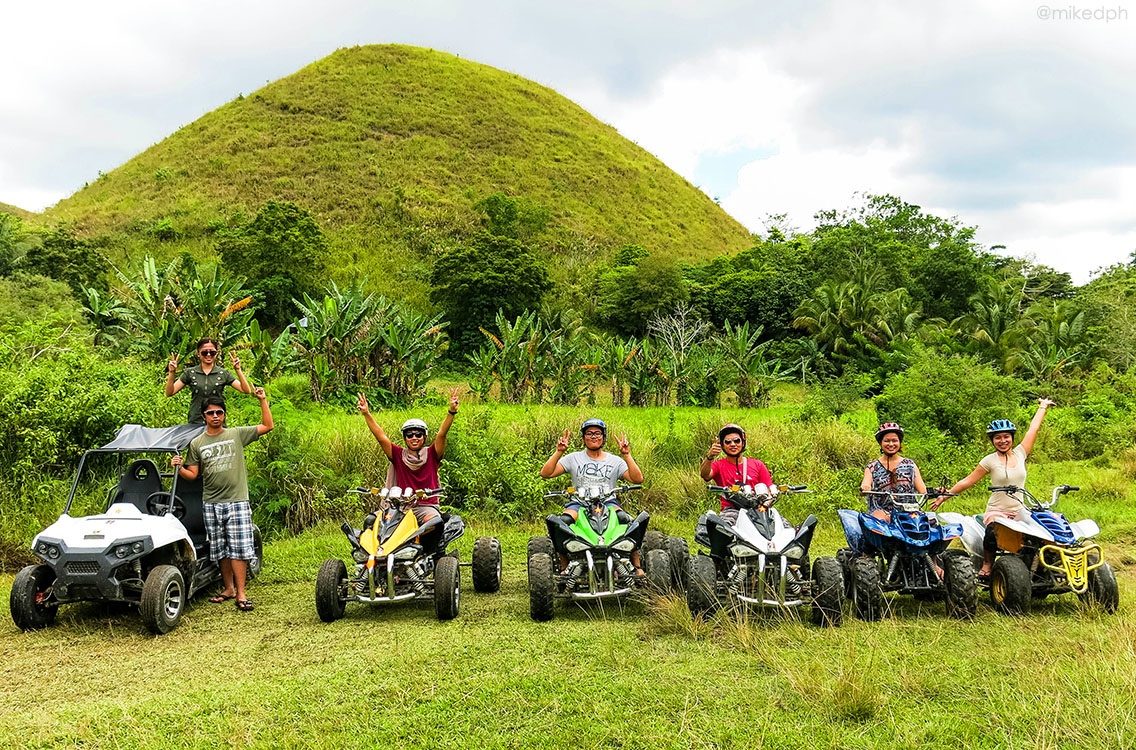
Before 09:00
Position your vehicle on the elevated ridge segments to frame the hills against the morning sky.
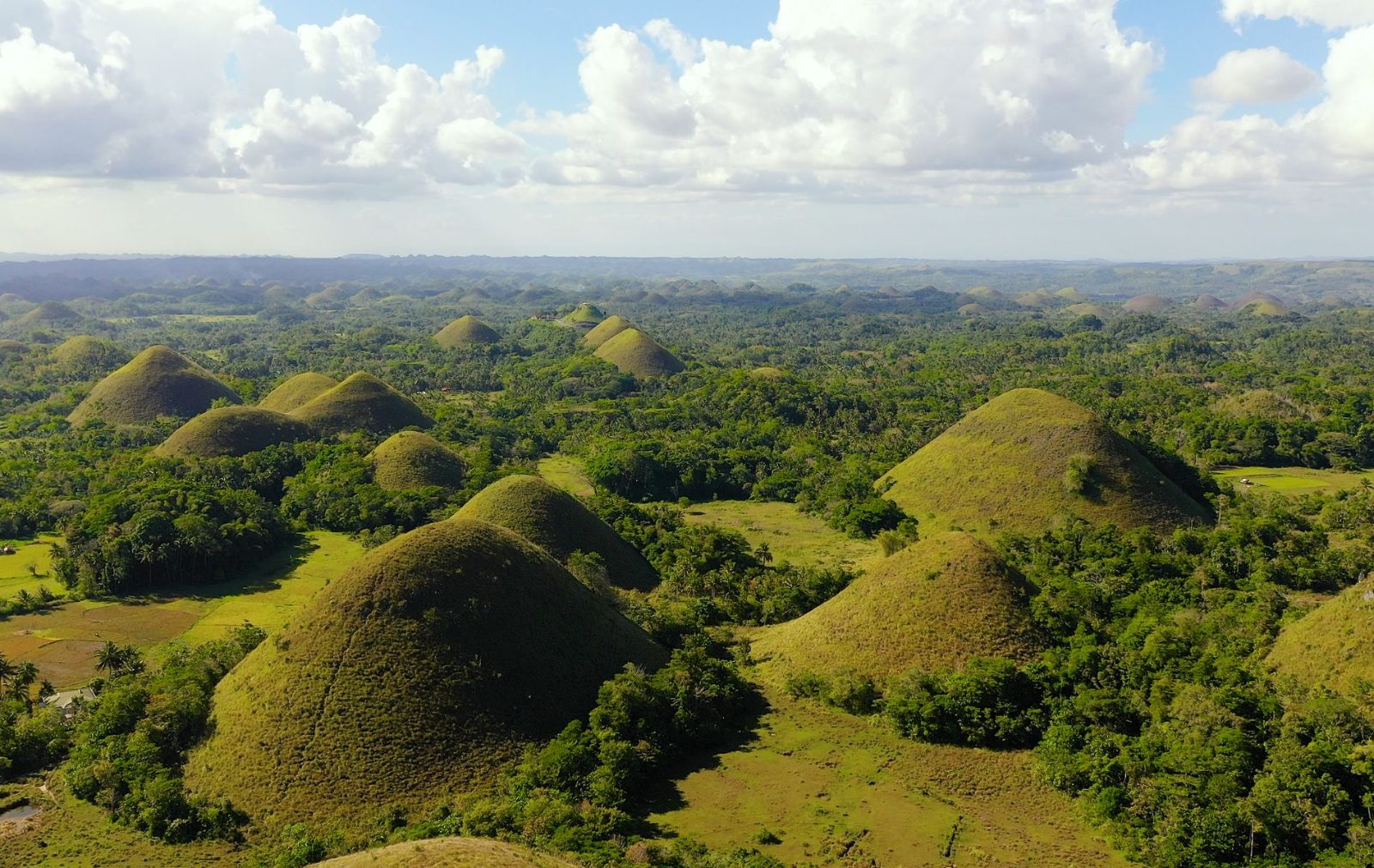
Early morning
Use the wet or grassy basin areas during the trail loop to catch the reflection of the hills in the foreground.
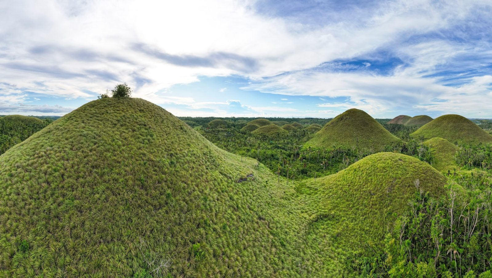
Before 09:00
Stop at the designated clearing midway through the ATV track to photograph the 360-degree expanse of the surrounding hills.
The best arrival window is 06:00–09:00 for favorable natural lighting and lower visitor volume. This timeframe allows for clearer images and cooler riding conditions before the midday heat.
High 30°C to 32°C
Clear skies provide consistent light for landscapes.
High 29°C to 31°C
Overcast skies often diffuse harsh shadows.
—
Best for empty trails and candid photography.
—
Expect more traffic on the trails.
Verdict: For the best photography conditions, aim for a weekday arrival between 06:00 and 09:00 during the drier months of March and April.
The Chocolate Hills Complex operates on a consistent daily schedule to accommodate visitors throughout the week.
The Chocolate Hills Complex is located at Chocolate Hills Complex, Loay Interior Road, Buenos Aires, Carmen, Bohol, Philippines. Most visitors reach the site via private transport or hired vehicles from Tagbilaran City.
Tagbilaran Integrated Bus Terminal to Carmen via Loay Interior Road
National Route 3 (Tagbilaran North Road) to Carmen
Tagbilaran City to Carmen via Loay Interior Road
Travelers should aim to arrive between 06:00 and 09:00 to navigate the roads before traffic increases and to ensure parking availability at the complex.
The Chocolate Hills conservation area requires visitors to follow marked trails and respect natural boundaries. ATV riders should maintain safe distances from other groups and avoid disturbing the landscape during photo stops.
Everything you need to know about chocolate hills atv photos
The rugged trails surrounding the geological formations provide ideal backdrops for your chocolate hills atv photos. Local operators maintain designated tracks that offer unique perspectives of the conical mounds while ensuring visitor safety.
Yes, these outdoor adventures operate daily, allowing you to capture chocolate hills atv photos regardless of the season. Please check local weather conditions before your visit, as heavy rain may occasionally impact trail accessibility.
Arriving during the best arrival window of 06:00–09:00 provides soft natural lighting and cooler temperatures for your photography. This timing helps you avoid the midday heat and allows for a clearer view of the limestone hills.
Yes, many visitors choose to combine their Bohol sightseeing with an off-road excursion to see the scenery from a different vantage point. You can easily find providers offering guided adventure trails that complement standard sightseeing stops.
While requirements vary by operator, most adventure providers have specific guidelines for riders to ensure safety during the trip. It is recommended to verify these details directly with your chosen local guide before starting your photography session.
The conservation and maintenance fee for the viewing deck is 100 PHP per person. This fee is separate from any private adventure activity costs and supports the ongoing preservation of this Philippine landmark.